
The Joseph Dow trunk archive · Document gallery 74
Lot 3G: Joseph Dow’s notes on Hampton houses, families and town records
19 photographs · 8 document groups
Photographed by Whit from the recovered Joseph Dow collection. Descriptions draw on visible names, dates and subjects; uncertain readings remain provisional. Reading copies are turned upright, and each image links to the unchanged full-resolution original.
JDT-D559 · The research notebook: label, cover and house-plan sketches
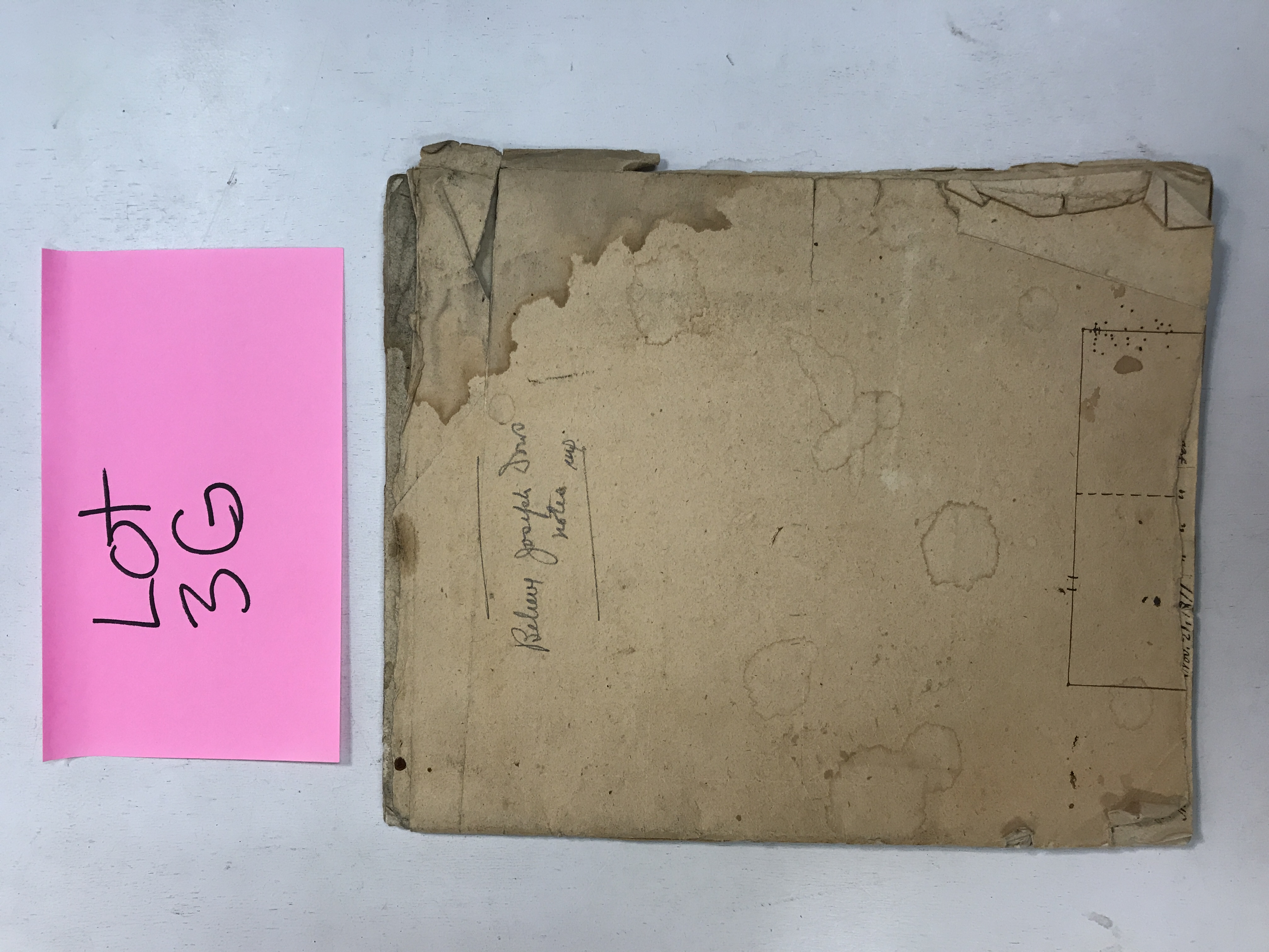
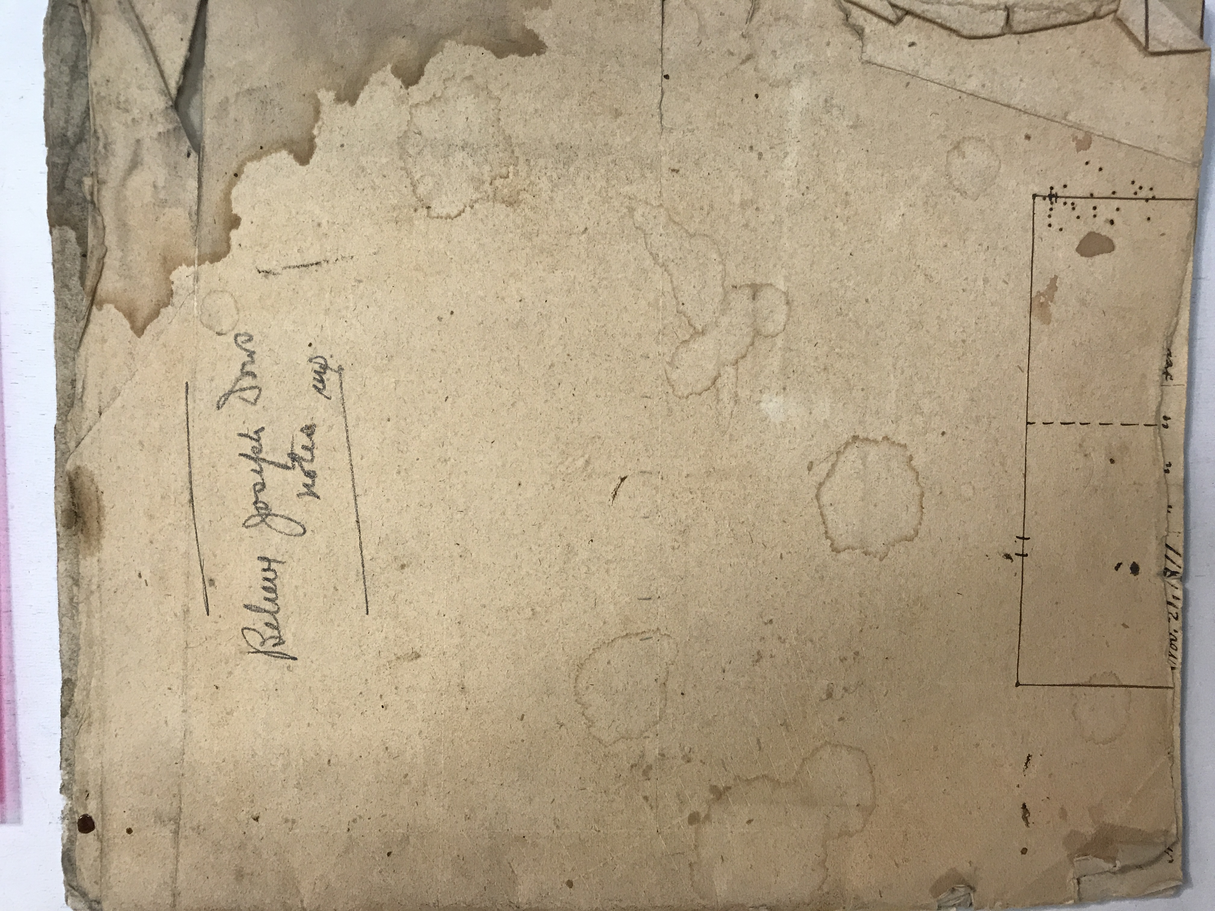
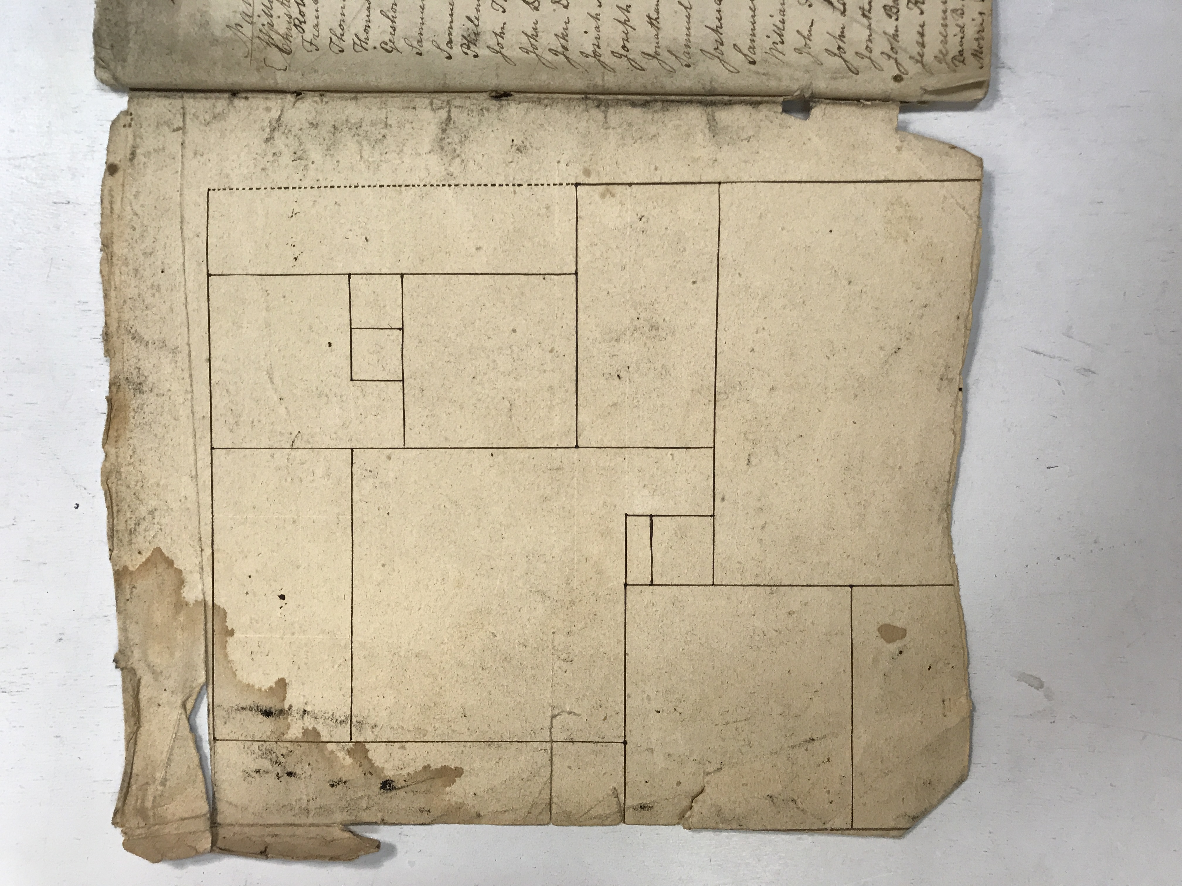
The Lot 3G label accompanies a cover identified as Joseph Dow’s notes. A close view preserves the ownership wording, and an opening shows simple rectilinear plans. The sketches introduce a book concerned with the relationship between families, buildings and the town’s historical landscape.
The research notebook: label, cover and house-plan sketches · view 1 of 3
Open full-resolution photograph ↗
The research notebook: label, cover and house-plan sketches · view 2 of 3
Open full-resolution photograph ↗
The research notebook: label, cover and house-plan sketches · view 3 of 3
Open full-resolution photograph ↗
JDT-D560 · Deacons of Hampton’s First Church
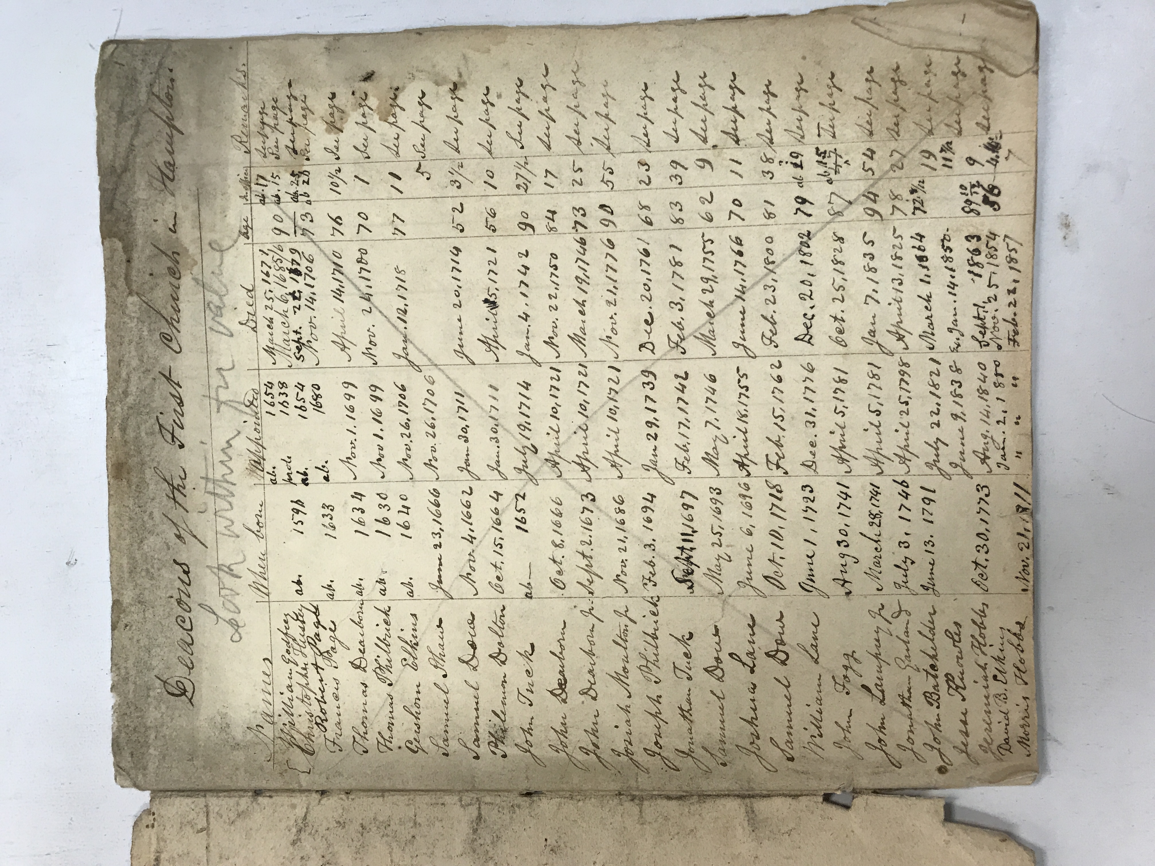
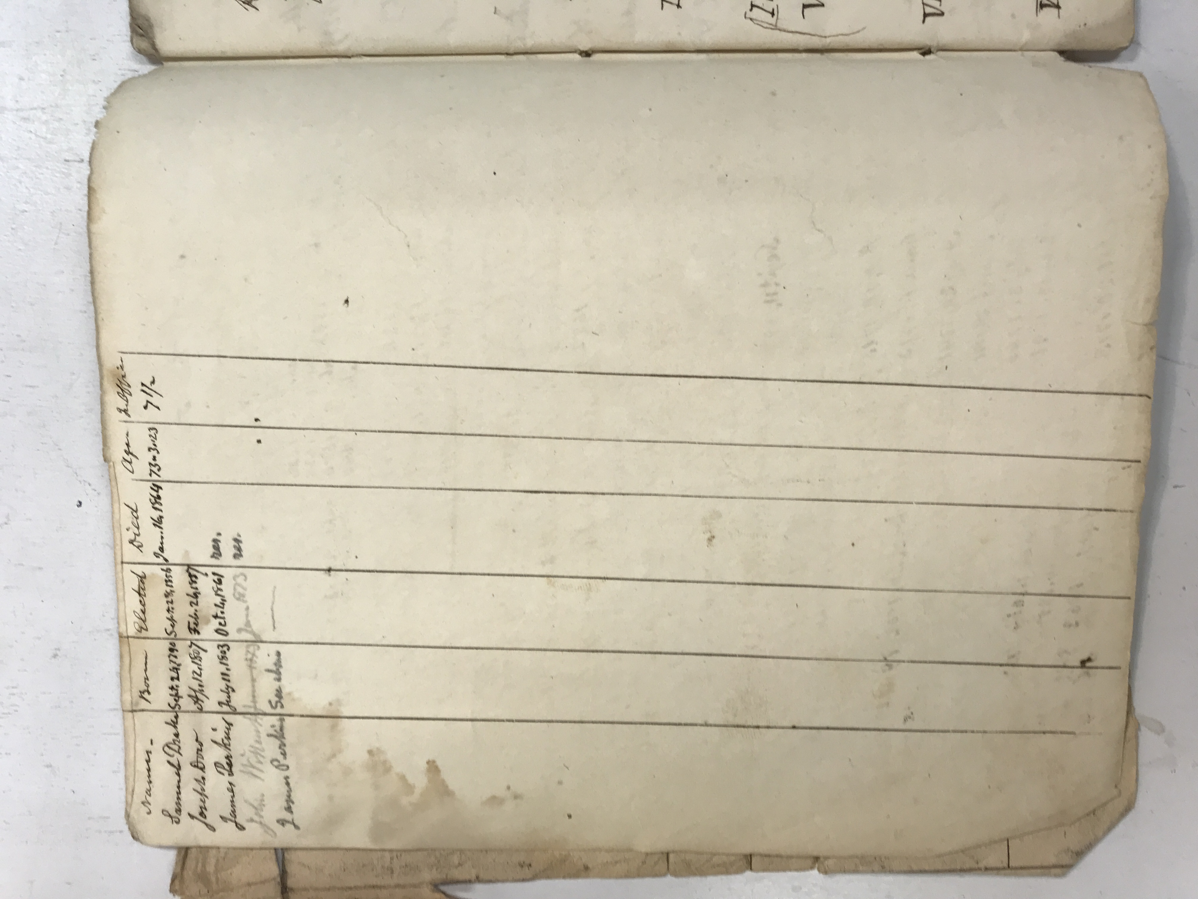
A carefully arranged table lists deacons with birth, election and death information, ages and periods of service. Familiar local surnames include Dearborn, Philbrick, Elkins, Shaw, Dow, Tuck, Moulton and Lane. Later additions extend the table beyond its first entries, making it a cumulative research tool rather than a single contemporary list.
Deacons of Hampton’s First Church · view 1 of 2
Open full-resolution photograph ↗
Deacons of Hampton’s First Church · view 2 of 2
Open full-resolution photograph ↗
JDT-D561 · Following houses along the Hampton–Exeter road
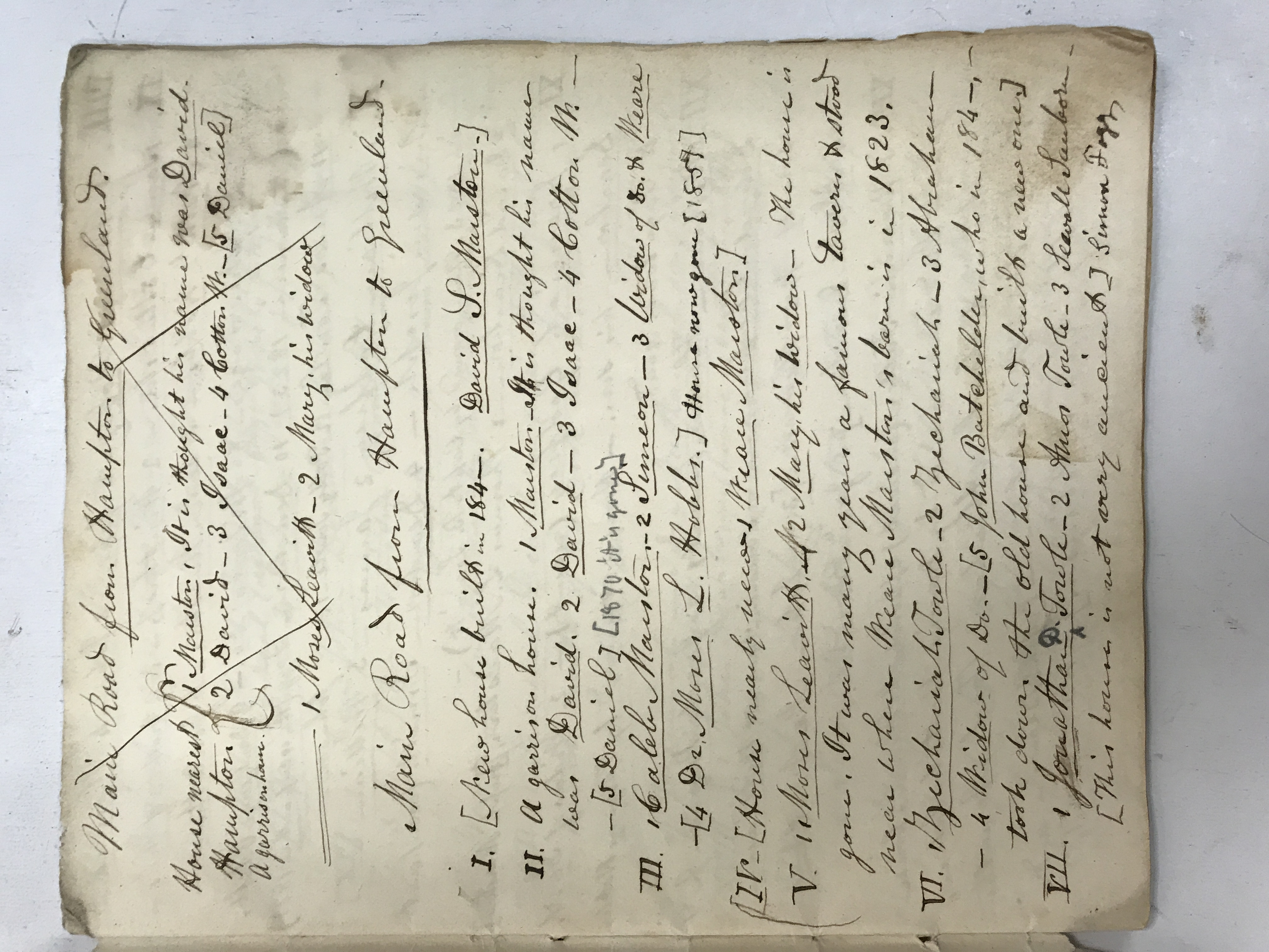
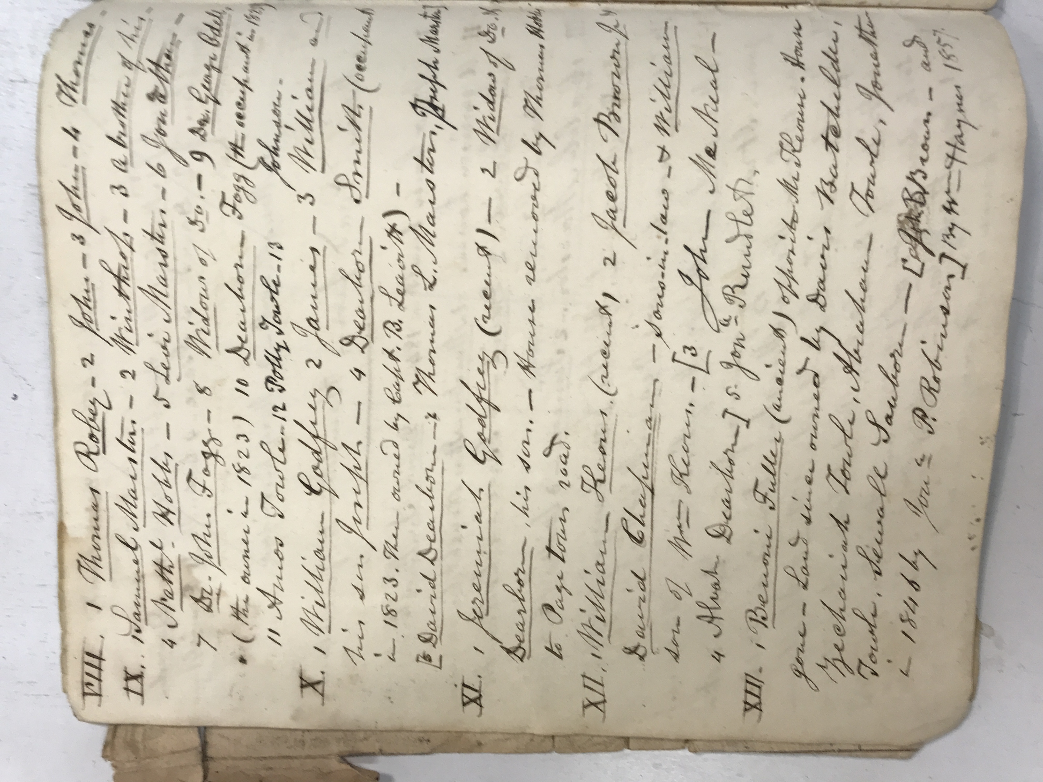
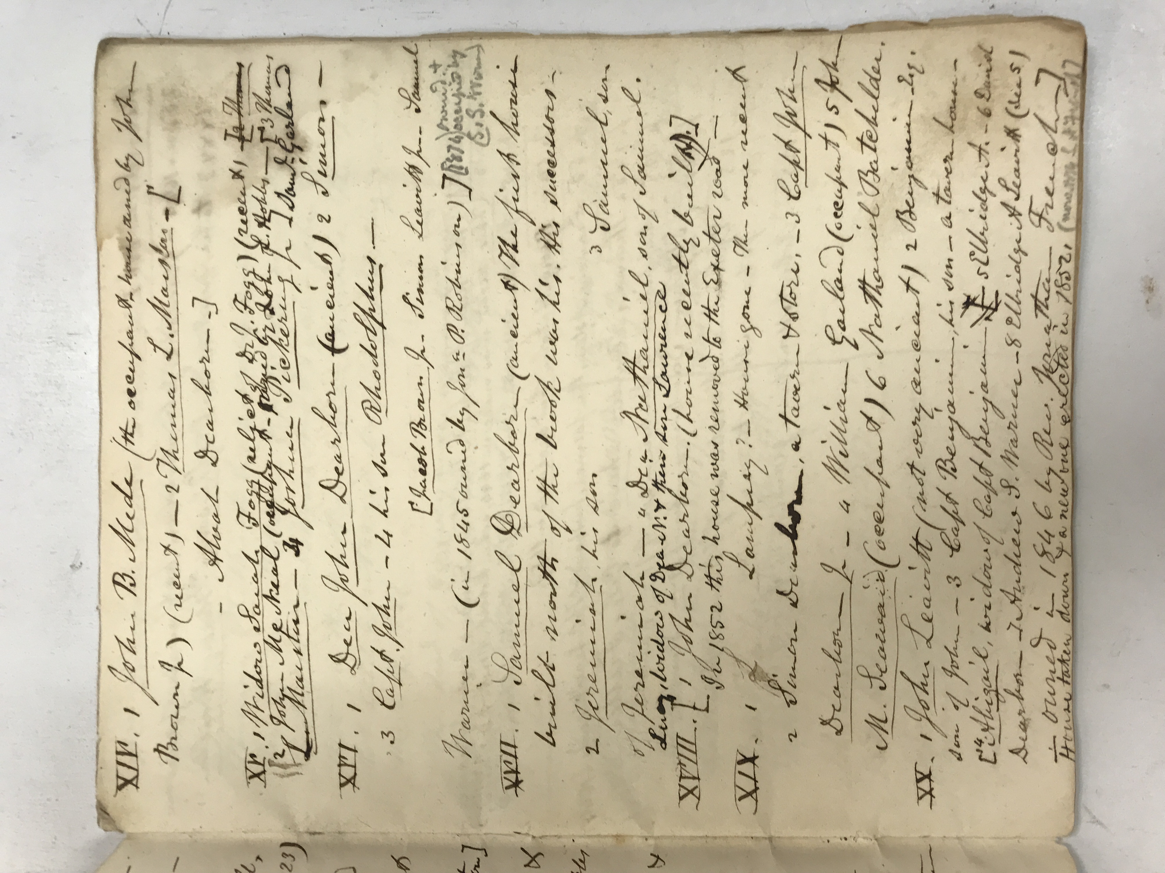
Numbered entries trace houses and their successive occupants along the main road from Hampton toward Exeter. Notes identify garrison houses, taverns, replacements and buildings already removed by the nineteenth century. Family succession becomes a way of locating vanished structures, linking genealogy with historical geography.
Following houses along the Hampton–Exeter road · view 1 of 3
Open full-resolution photograph ↗
Following houses along the Hampton–Exeter road · view 2 of 3
Open full-resolution photograph ↗
Following houses along the Hampton–Exeter road · view 3 of 3
Open full-resolution photograph ↗
JDT-D562 · Town-record extracts, a house lot and marriage notes
References to record volumes and pages gather heirs, land grants and family relationships. A longer note discusses a seventeenth-century house-lot transfer involving Samborne and Philbrick, followed by marriage entries. The mixture reveals how property and kinship evidence were brought together to test a historical reconstruction.
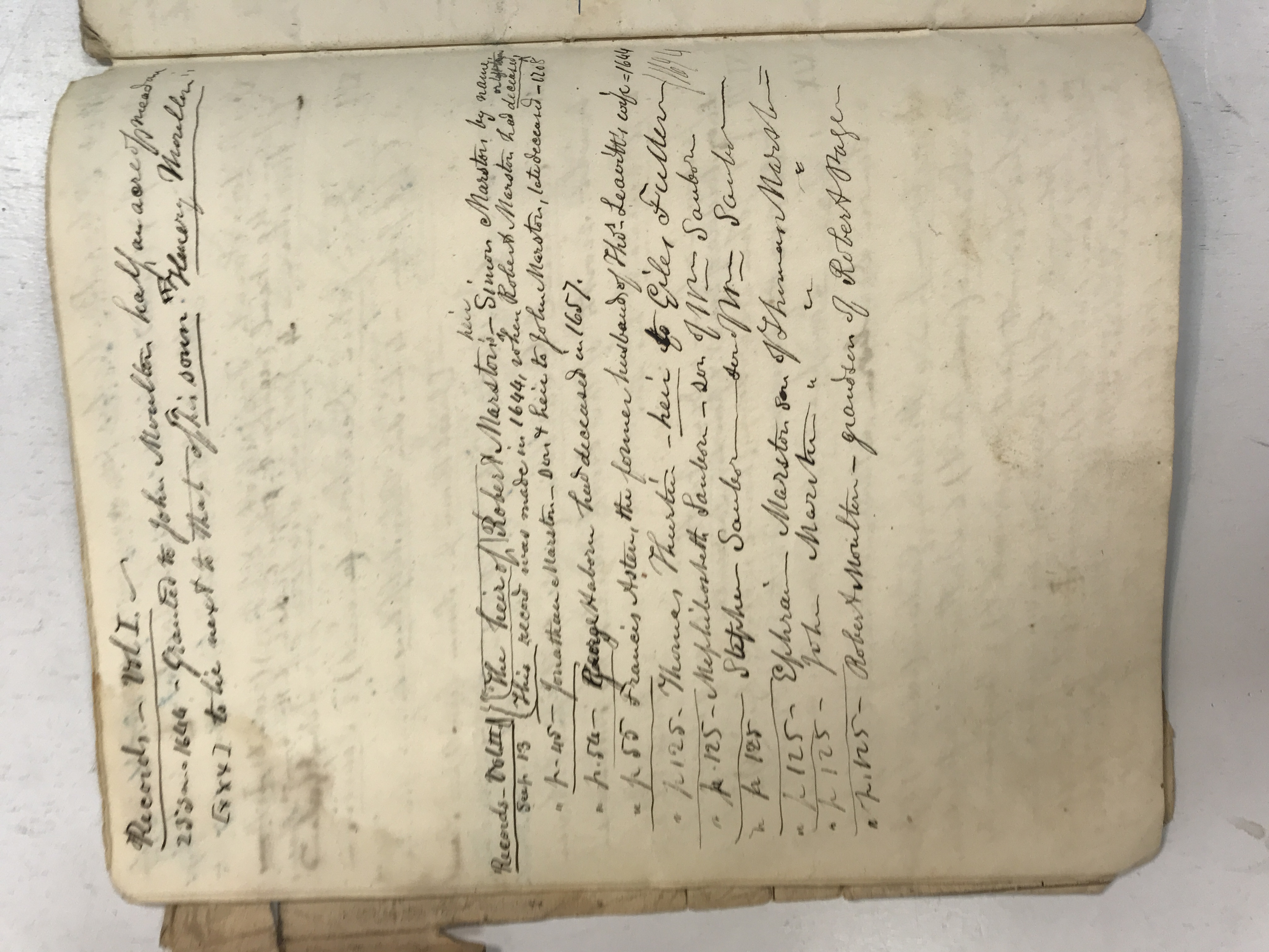
Town-record extracts, a house lot and marriage notes · view 1 of 2
Open full-resolution photograph ↗
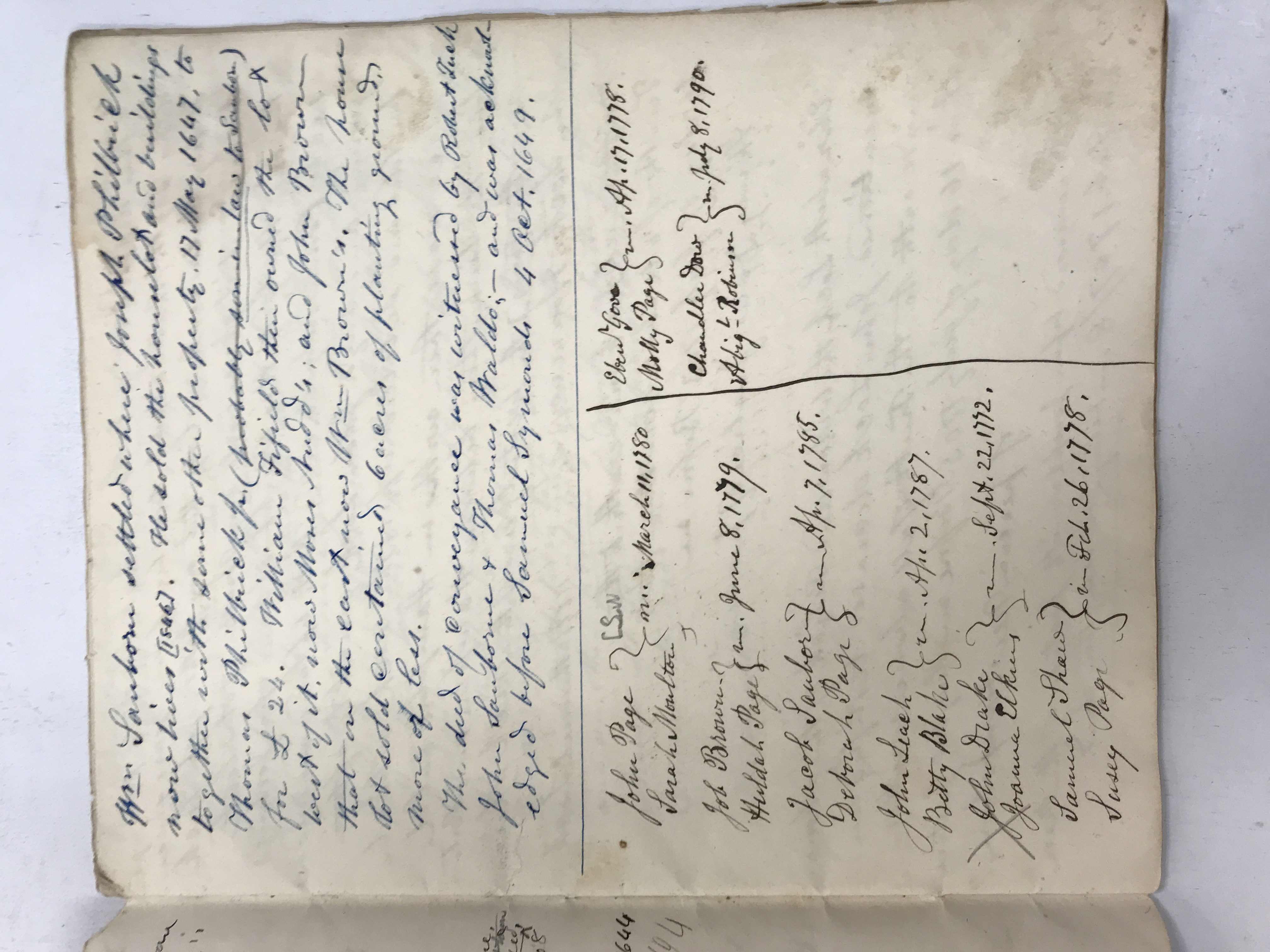
Town-record extracts, a house lot and marriage notes · view 2 of 2
Open full-resolution photograph ↗
JDT-D563 · Nathaniel and Elizabeth Locke’s testimony about land
A copied deposition dated July 1703 concerns John Locke’s settlement on a neck of land near the old Hampton–Portsmouth boundary. Nathaniel Locke’s testimony is followed by that of Elizabeth, John’s widow, with Henry Dow acting as justice of the peace. The extract supplies both family evidence and a recollection of an earlier landscape.
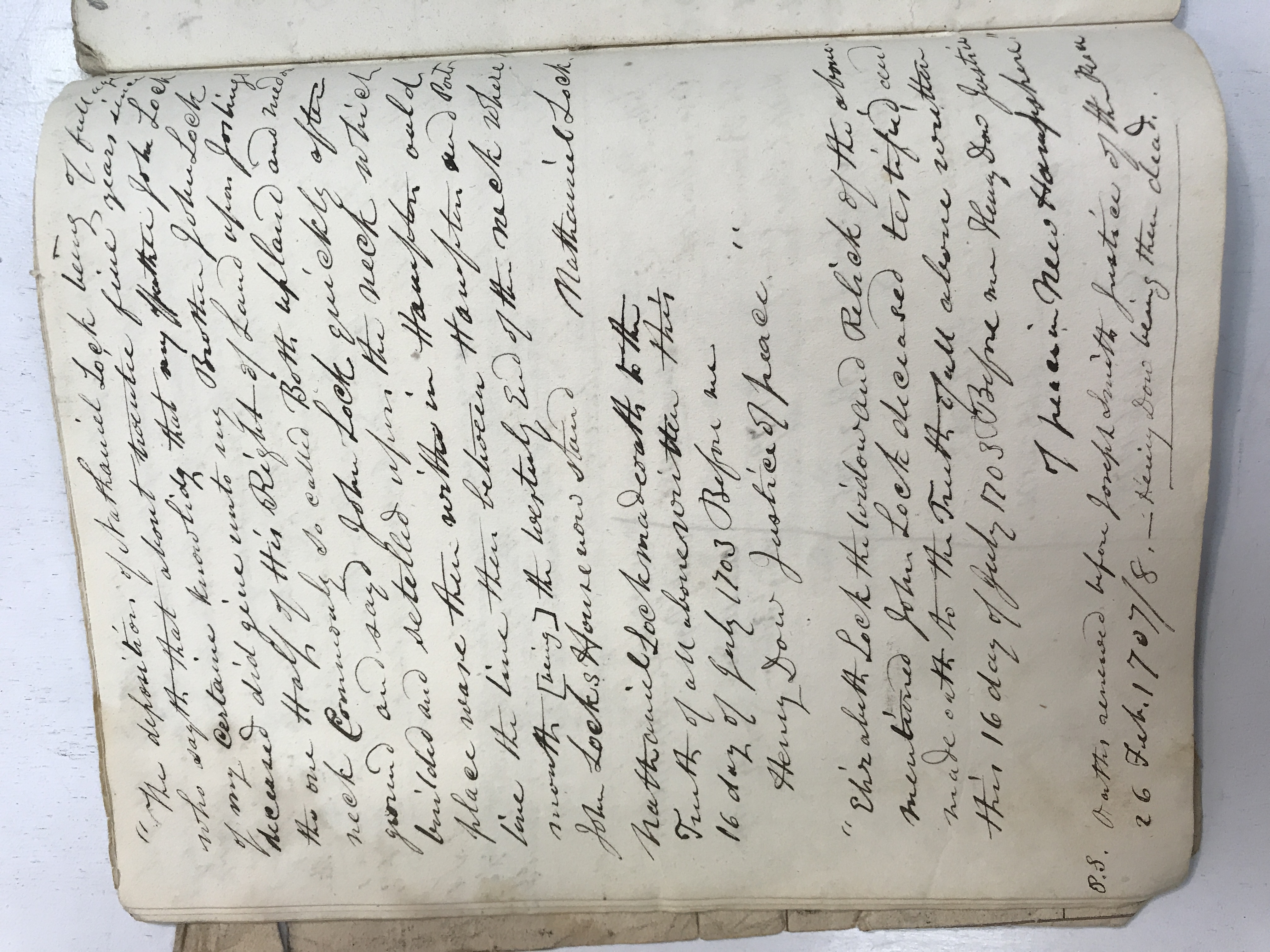
Nathaniel and Elizabeth Locke’s testimony about land · view 1 of 1
Open full-resolution photograph ↗
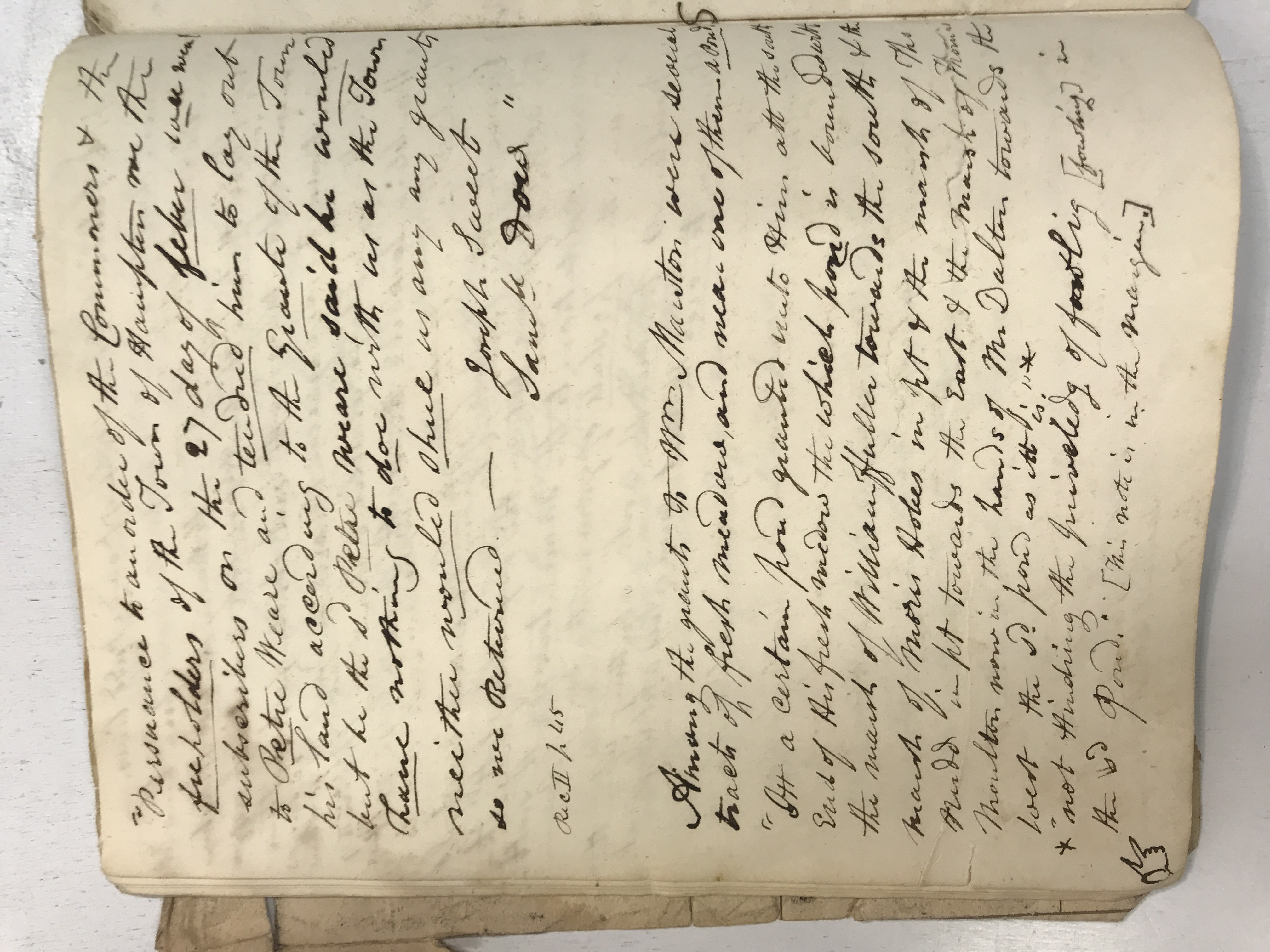
JDT-D564 · Grants, meadows and the difficulty of laying out land
Extracts describe Thomas Moulton’s house lot and associated grants, followed by a report about attempting to lay out land for Peter Weare. Refusals, adjoining proprietors and uncertain bounds show why a grant on paper did not always produce an uncontested parcel on the ground.
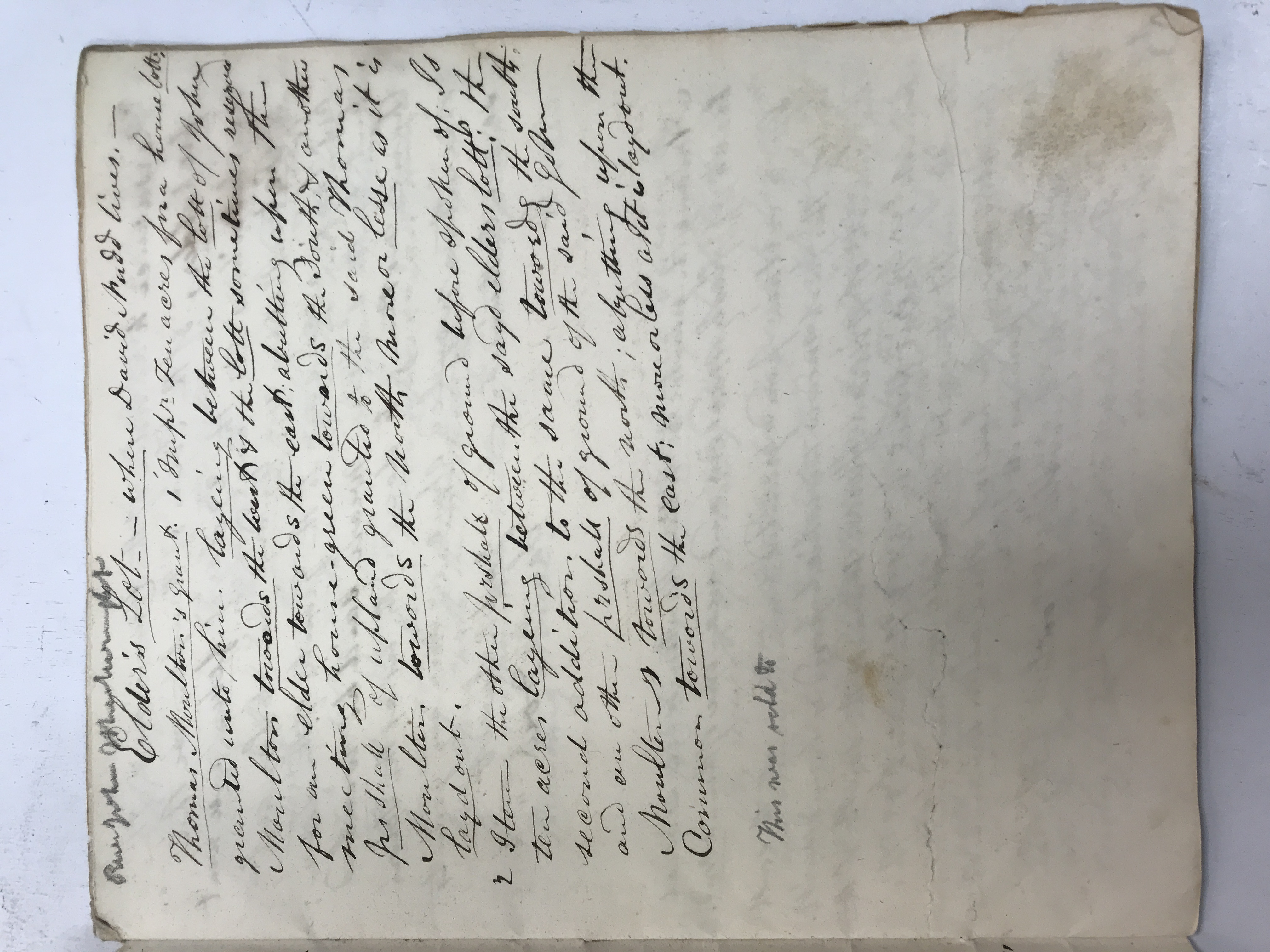
Grants, meadows and the difficulty of laying out land · view 1 of 2
Open full-resolution photograph ↗
Grants, meadows and the difficulty of laying out land · view 2 of 2
Open full-resolution photograph ↗
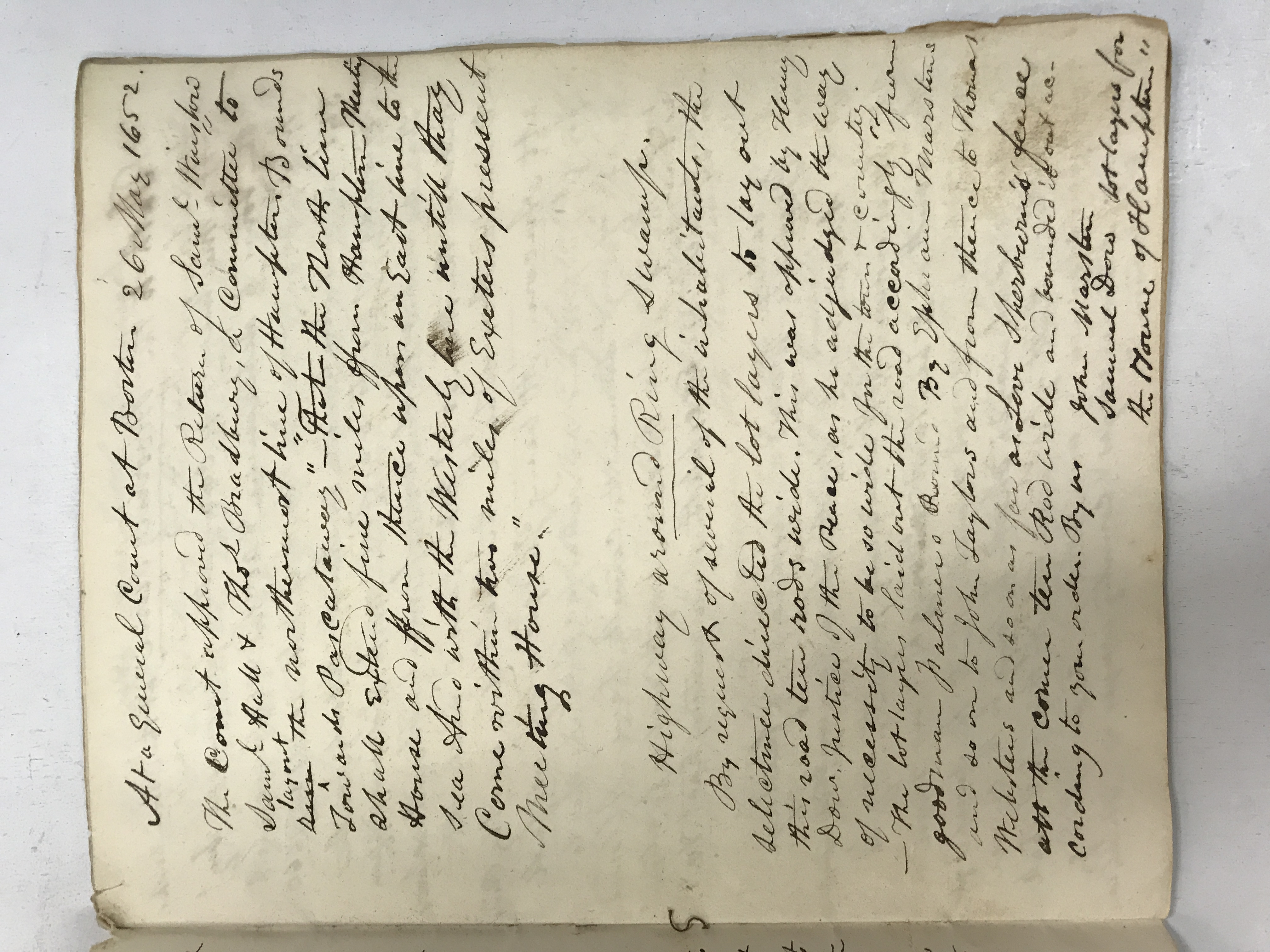
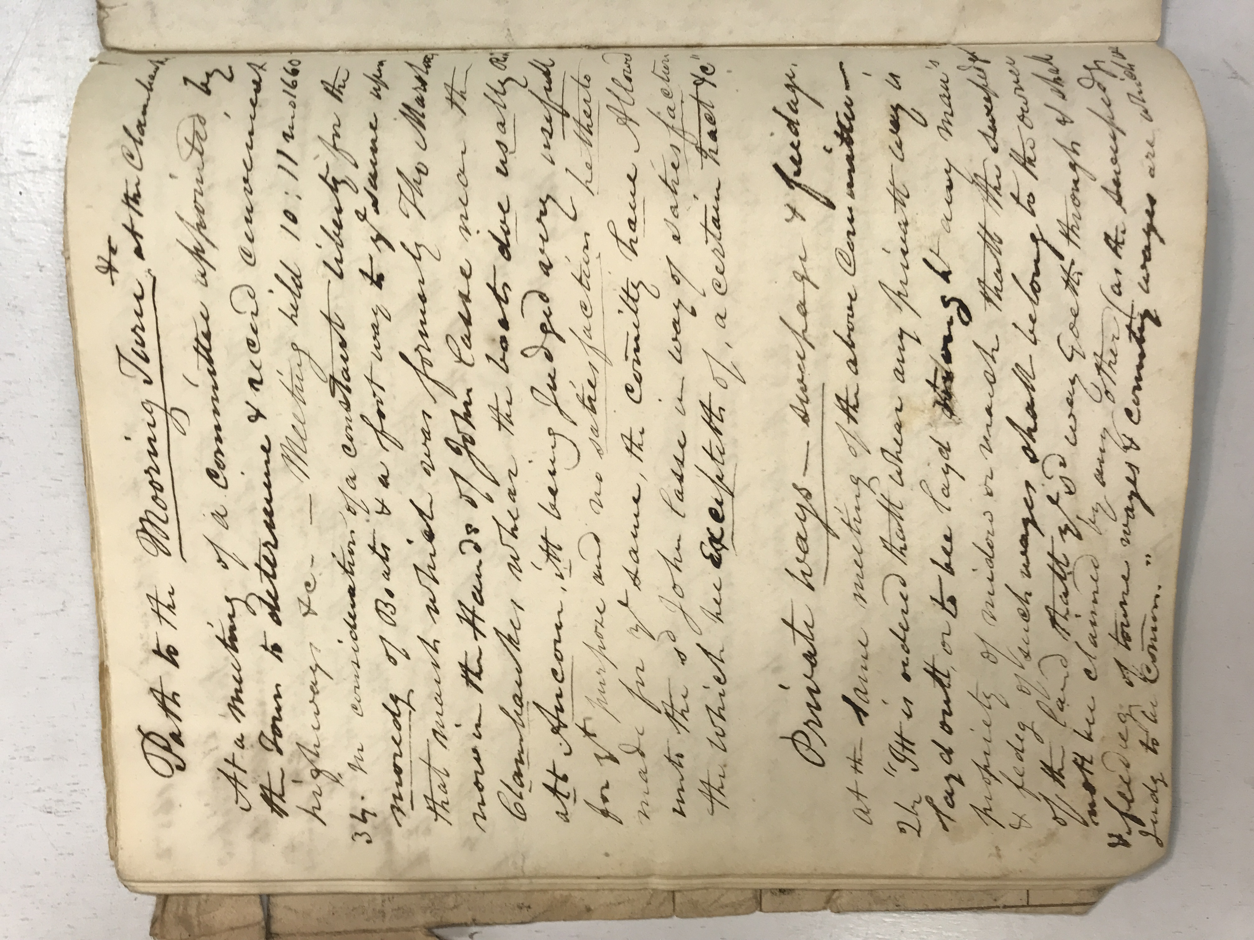
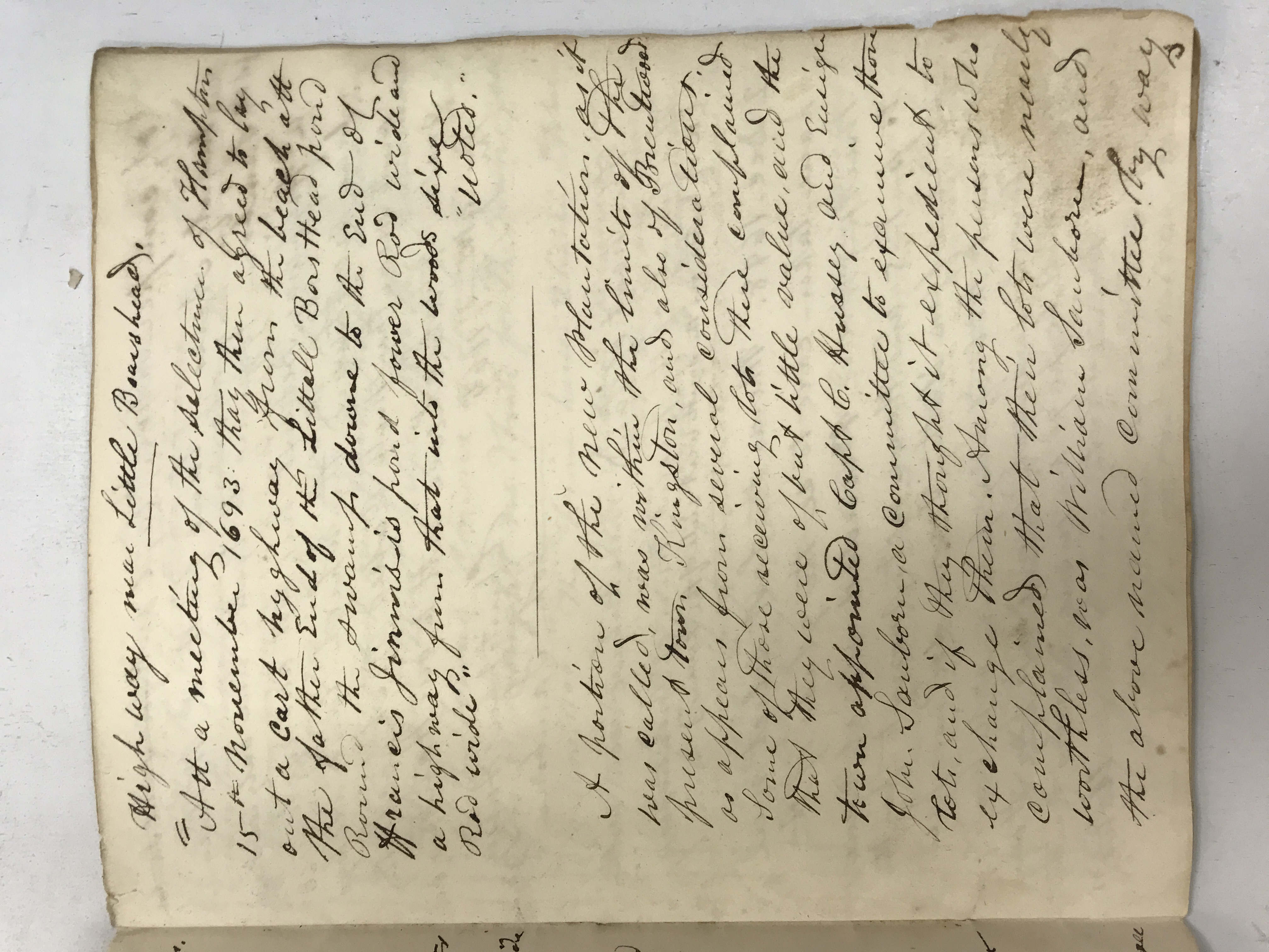
JDT-D565 · Town boundaries, roads and access to the landing
Notes cover Hampton’s northern boundary, a road near Ring Swamp, access to a boat landing and private ways across meadowland. A later extract concerns a highway near Little Boar’s Head. Together they show the historian reconstructing movement through the town from scattered administrative decisions.
Town boundaries, roads and access to the landing · view 1 of 3
Open full-resolution photograph ↗
Town boundaries, roads and access to the landing · view 2 of 3
Open full-resolution photograph ↗
Town boundaries, roads and access to the landing · view 3 of 3
Open full-resolution photograph ↗
JDT-D566 · Commons, meetinghouse repairs and family deductions
Land laid out near Pickpocket, money needed for meetinghouse glazing, protection of common land and household regulation appear among the extracts. The final page turns explicitly to genealogical deductions from town records, showing how civic documents could answer questions about heirs, parents and family identity.
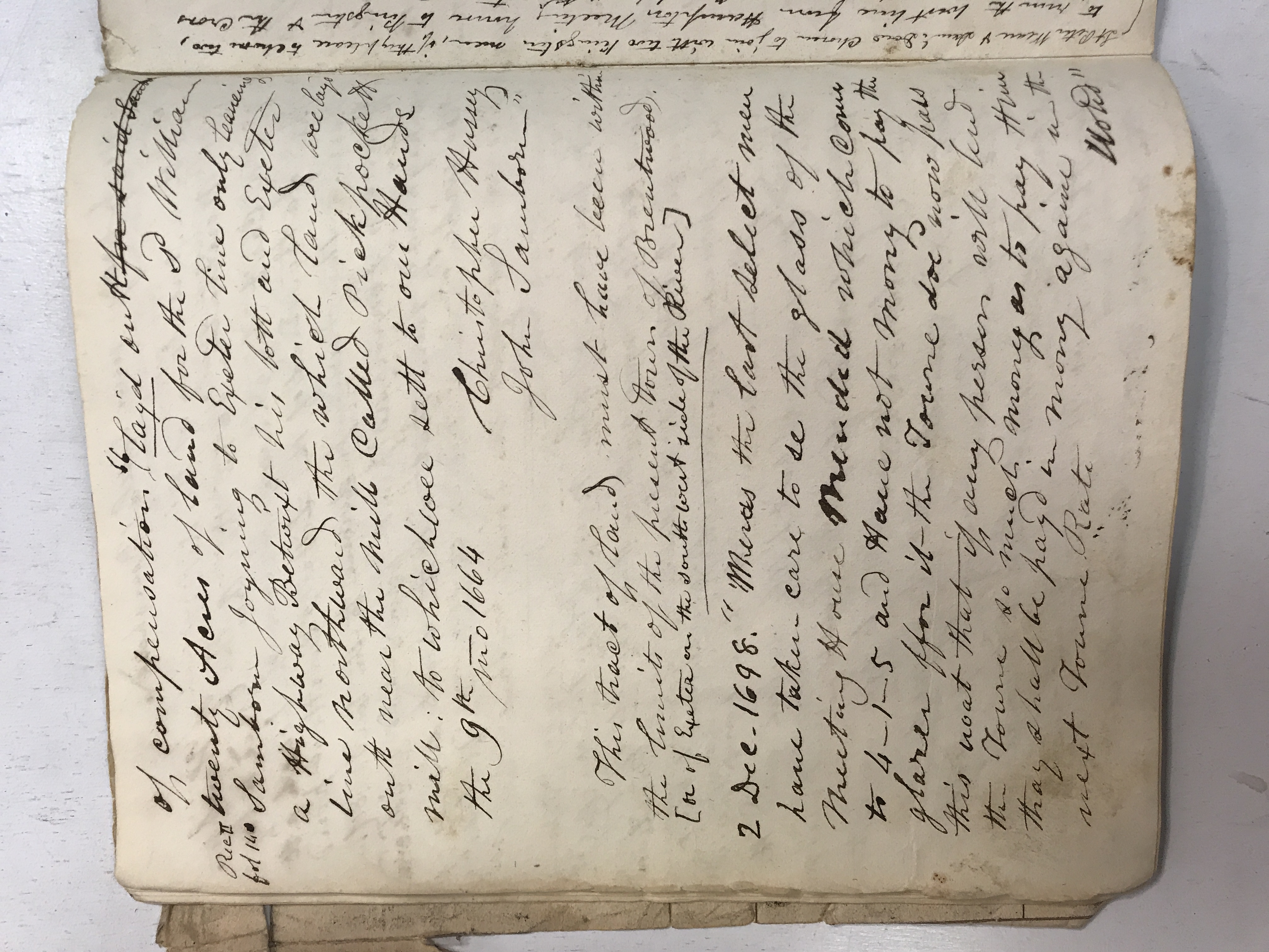
Commons, meetinghouse repairs and family deductions · view 1 of 3
Open full-resolution photograph ↗
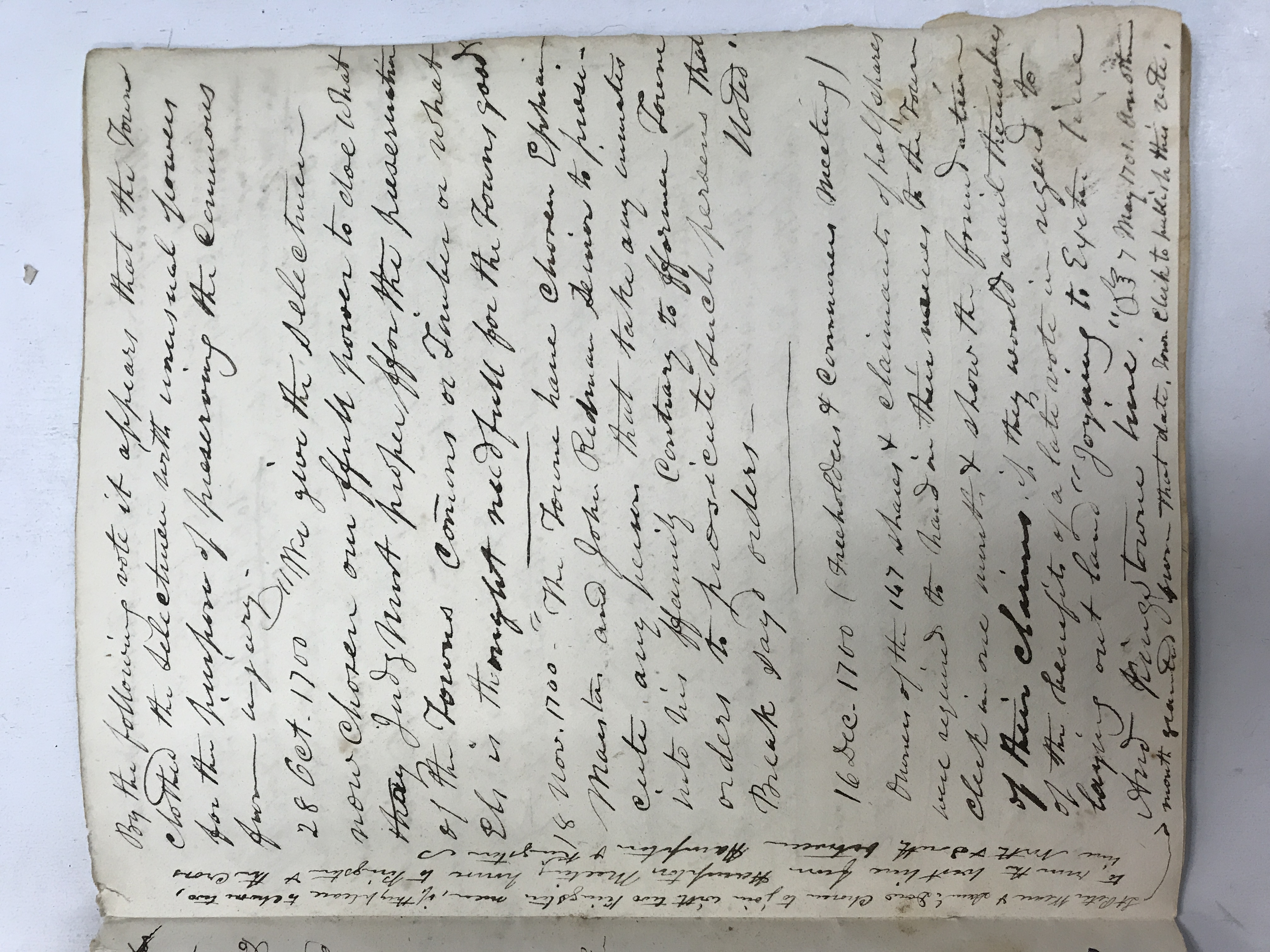
Commons, meetinghouse repairs and family deductions · view 2 of 3
Open full-resolution photograph ↗
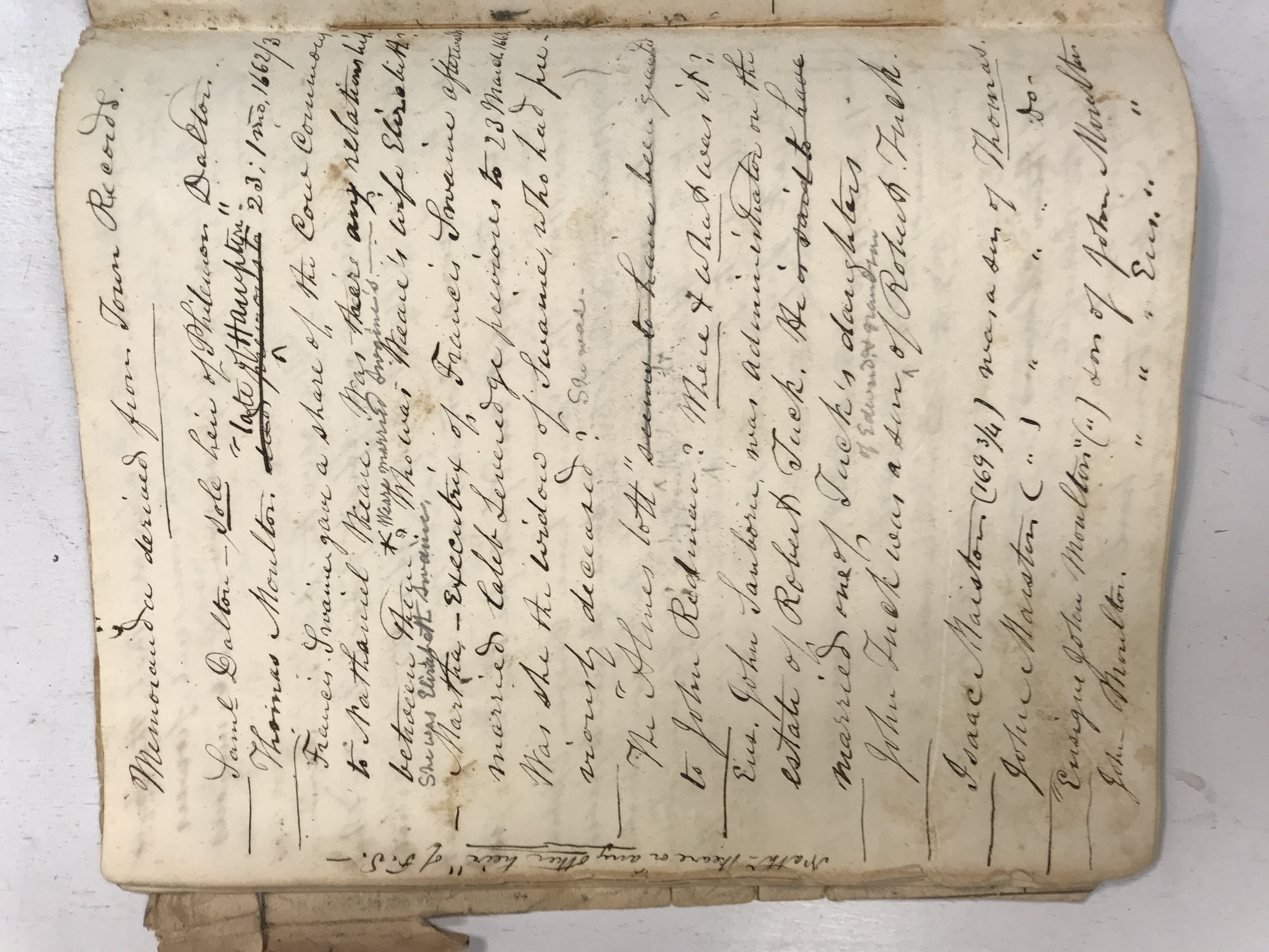
Commons, meetinghouse repairs and family deductions · view 3 of 3
Open full-resolution photograph ↗
Collection photographs supplied by Whit. Descriptions are finding aids, not full transcriptions. Names, dates and associations remain provisional where the handwriting is uncertain.